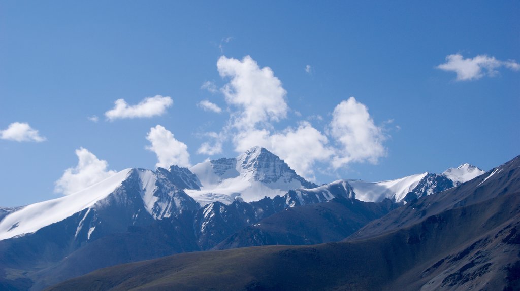
Stok Kangri (6,153 metres (20,187 ft)) is the highest mountain in the Stok Range of the Himalayas in the Ladakh region of northwest India. The peak is located in Hemis National Park, 12 km southwest of the trailhead at 3,610 metres (11,844 ft) in the village of Stok and around 15 km southwest of the Ladakhi capital of Leh.
Despite its altitude, Stok Kangri is a popular trekking peak and is often climbed as an initial non-technical foray into high altitude mountaineering. However, Stok Kangri is very often underestimated for its difficulty level and in particular the need to acclimatise before and during the ascent.
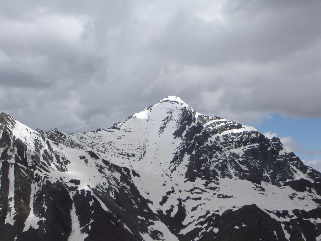
In late July and August, all but the top of the peak may be snow-free. The elevation data was verified by GPS readings from 11 satellites at the Summit during a late July 2007 joint Nepalese-US expedition which encountered snow cover for 85% of the final four-hour, four km, 900 metre climb.
List of peaks seen from Stok Kangri Summit :
Apsarasas Kangri I, 7,245 metres (23,770 ft)
Chamshen Kangri, 6,950 metres (22,802 ft)
Kun, 7,077 metres (23,219 ft)
Lungsher Kangri, 6,666 metres (21,870 ft)
Mamostong Kangri, 7,516 metres (24,659 ft)
Nun, 7,135 metres (23,409 ft)
Rimo Kangri I, 7,385 metres (24,229 ft)
Rimo Kangri III, 7,233 metres (23,730 ft)
Saser Kangri I, 7,672 metres (25,171 ft)
Saser Kangri II, 7,513 metres (24,649 ft)
Saser Kangri III, 7,495 metres (24,590 ft)
Z2, 6,152 metres (20,184 ft)
K2, 8,611 metres (28,251 ft)
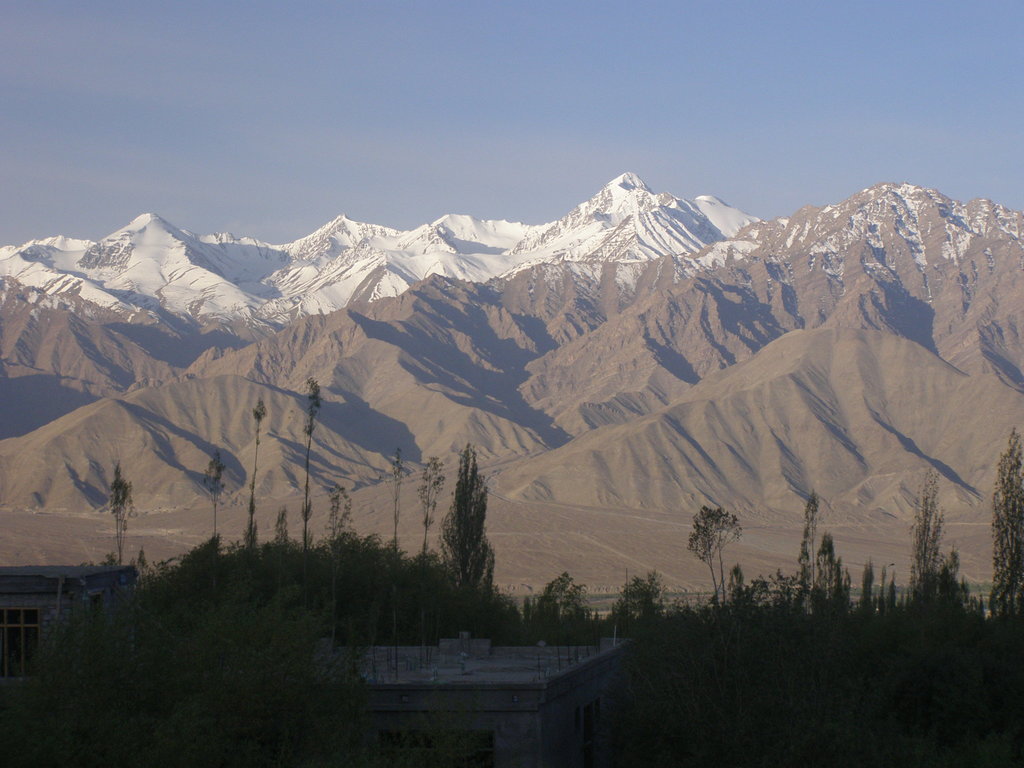
The shortest route to the peak (often used for the descent) is along the Stok valley, following the Stok Chu to Stok village. This valley's grazing landscape, especially near the village, was devastated by the 2010 Ladakh floods, the most severe in decades.
There's a trail called Trail to Stok Kangri leading to the summit. Stok Kangri is one of the 1 peaks along the Stok Kangri.
By elevation Stok Kangri is
# 7 out of 24 in Hemis National Park # 36 out of 104 in Leh
By prominence Stok Kangri is
# 3 out of 24 in Hemis National Park # 13 out of 104 in Leh # 47 out of 246 in Ladakh
We use GPS information embedded into the photo when it is available.
3D mountains overlay
Adjust mountain panorama to perfectly match your photos because recorded by camera photo position might be imprecise.
Move tool
Rotate tool
Zoom
More customization
Choose which peak labels should make into the final photo and what photo title should be.
Next
Photo Location
Satellitte
Flat map
Relief map
Latitude
Longitude
Altitude
OR
Latitude
°'''
Longitude
°'''
Apply
Register Peak
Peak Name
Latitude
Longitude
Altitude
Register
Teleport
PeakVisor
This 3D model of Sagarmatha National Park in Nepal was made using the PeakVisor app topographic data. The mobile app features higher precision models worldwide, more topographic details, and works offline. Download PeakVisor maps today.
Download OBJ model
PeakVisor
The download should start shortly. If you find it useful please consider supporting the PeakVisor app.
PeakVisor for iOS and Android
Be a superhero of outdoor navigation with state-of-the-art 3D maps and mountain identification in the palm of your hand!