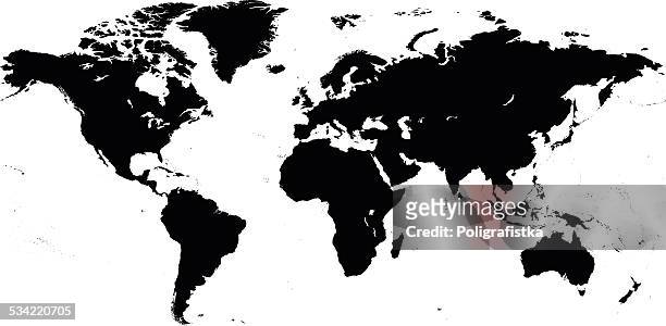
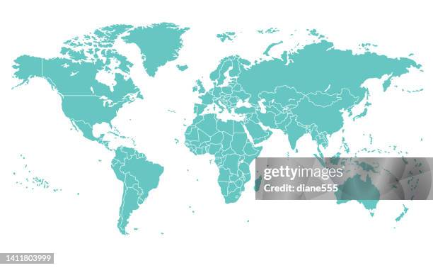
detailed world map with divided countries on a transparent background - world map and detailed stock illustrations
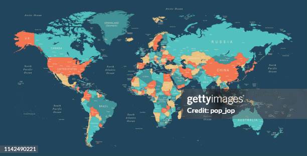
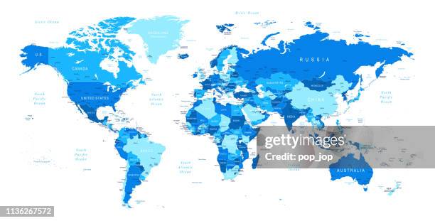
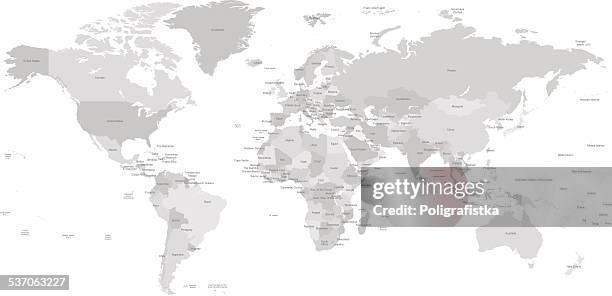
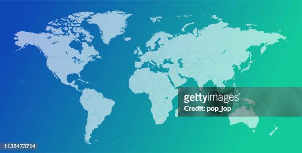
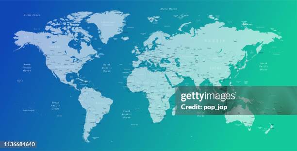
world map - borders, countries and cities - vector illustration - world map and detailed stock illustrations
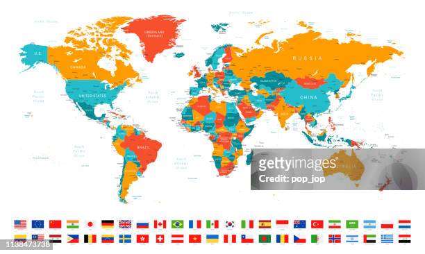
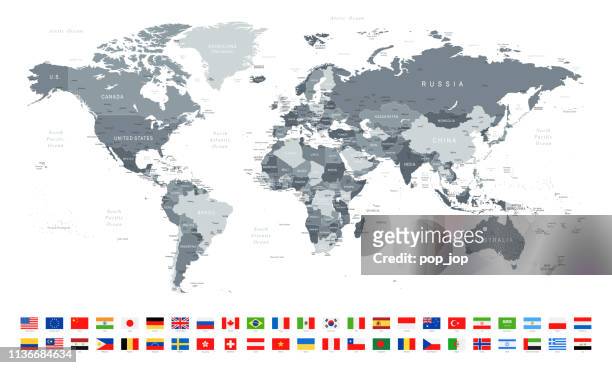
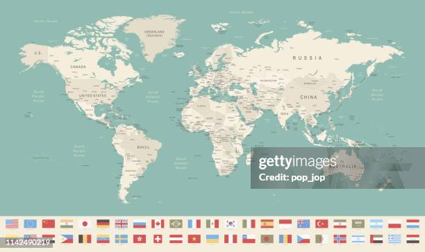
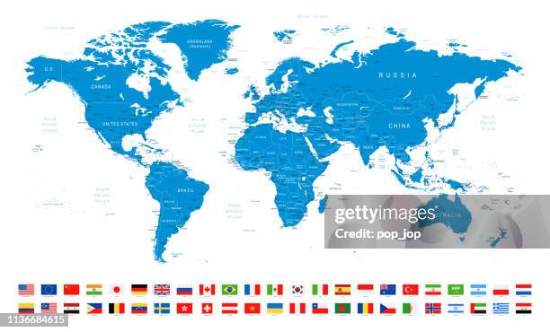
world map and most popular flags - borders, countries and cities - vector illustration - world map and detailed stock illustrations
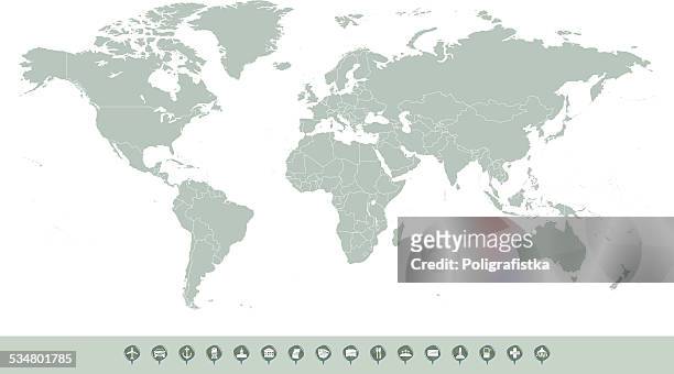
world map and travel icons - borders, countries and cities - vector illustration - world map and detailed stock illustrations
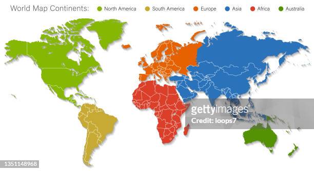
detailed world map divided into six continents - accurate & correct version - world map and detailed stock illustrations
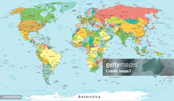
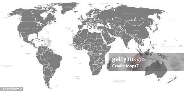
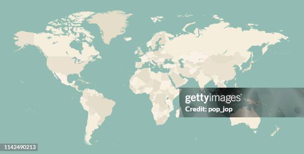
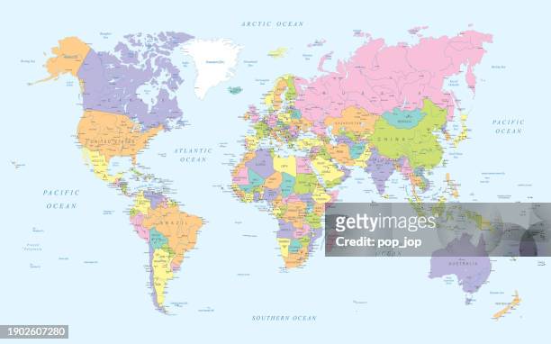
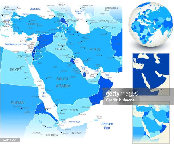
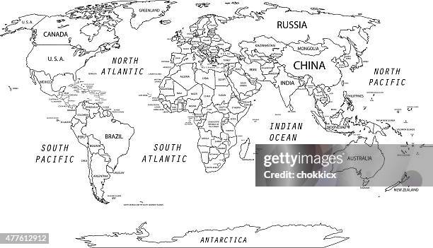
detailed political world map with names of cities, rivers, lakes, islands etc. - world map and detailed stock illustrations
political map of the world with borders countries. large map - world map and detailed stock pictures, royalty-free photos & images
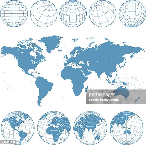
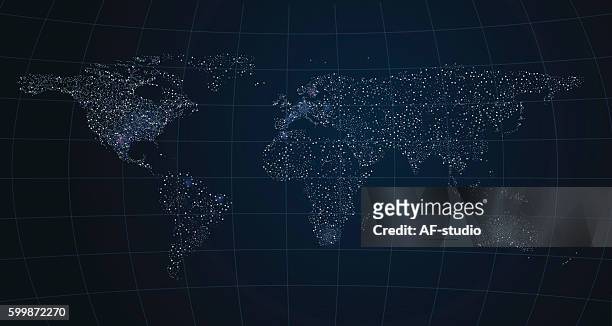
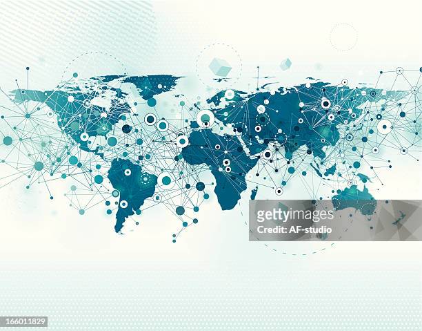
various views of the world as a globe, and on flat surface - world map and detailed stock illustrations
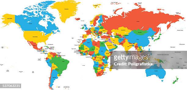
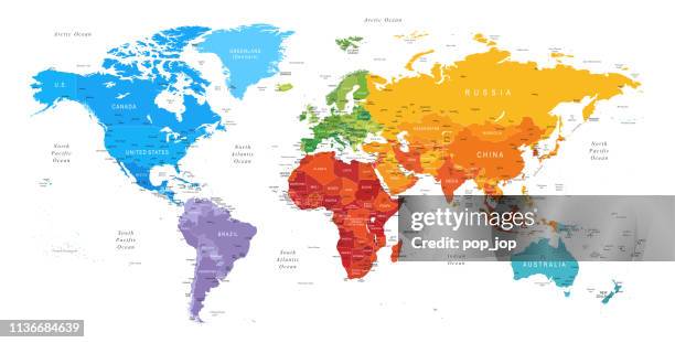
political detailed world map - every country has own color - vector illustration scalable at any size - world map and detailed stock illustrations
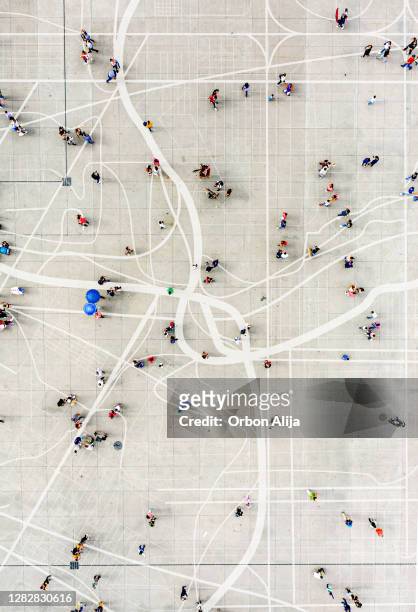
crowd standing on top of city map - world map and detailed stock pictures, royalty-free photos & images
world map - borders, countries and cities - vector illustration - world map and detailed stock illustrations
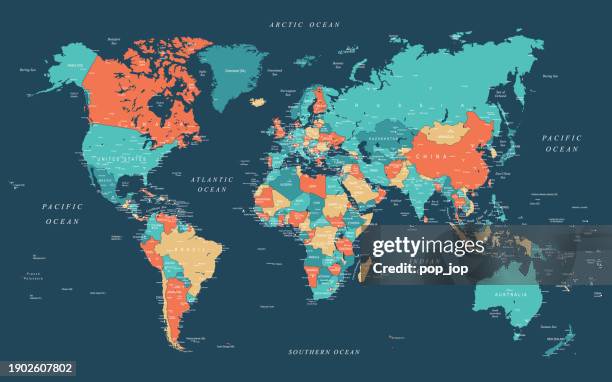
detailed world political map - every country has own color - world map and detailed stock illustrations
world map - borders, countries and cities - vector illustration - world map and detailed stock illustrations
world map and most popular flags - borders, countries and cities - vector illustration - world map and detailed stock illustrations
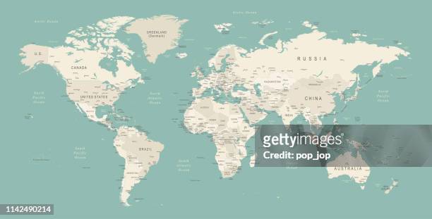
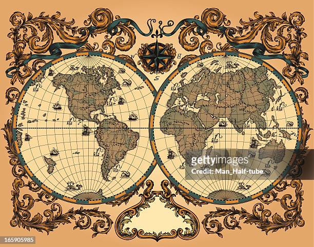
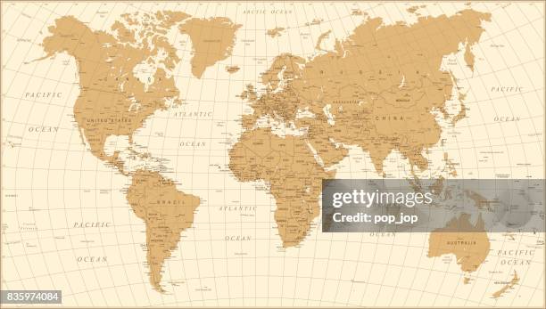
world map vintage vector. detailed illustration of worldmap - world map and detailed stock illustrations
detailed world map with divided countries on a transparent background - world map and detailed stock illustrations