World Map With Countries stock illustrations
Browse 58,100+ world map with countries stock illustrations and vector graphics available royalty-free, or search for world map with countries vector or world map with countries names to find more great stock images and vector art.

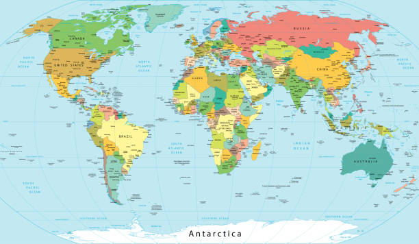
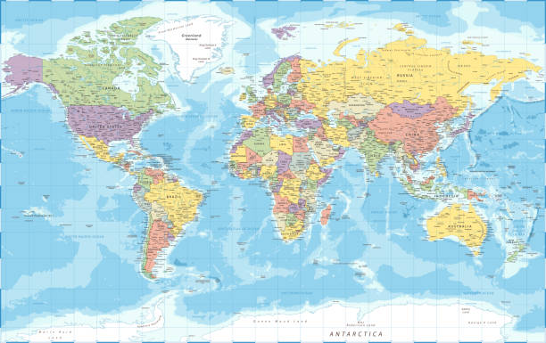
High Detailed World Map Color - borders, countries and cities - vector illustration
The world map was traced and simplified in Adobe Illustrator on 31MARCH2014 from a copyright-free resource below:
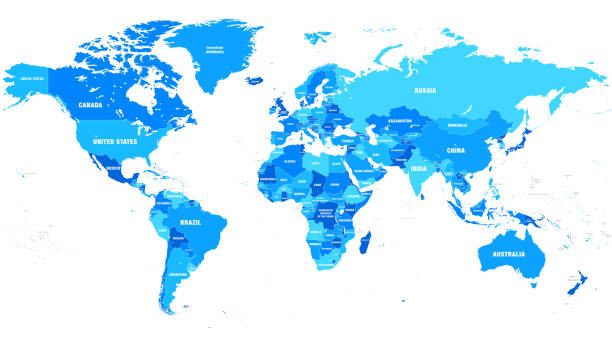
Blue political World map with country borders and white state name labels. Hand drawn simplified vector illustration.
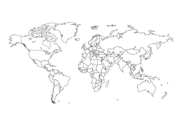
Vector of highly detailed world map - each country outlined and has its own labeled layer - The url of the reference file is : http://www.lib.utexas.edu/maps/world.html - 1 layer of data used for the detailed outline of the land
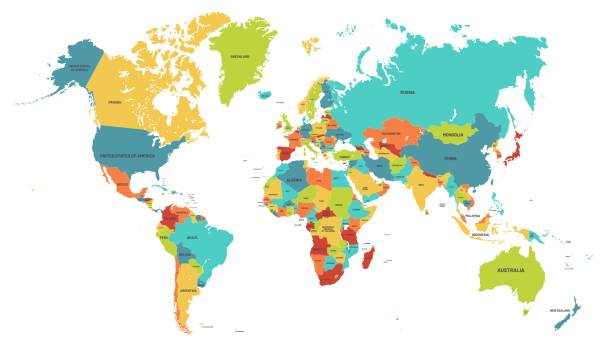
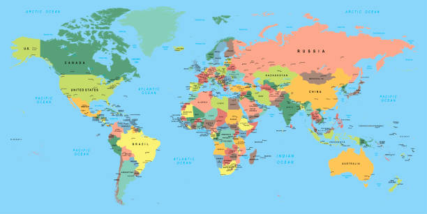
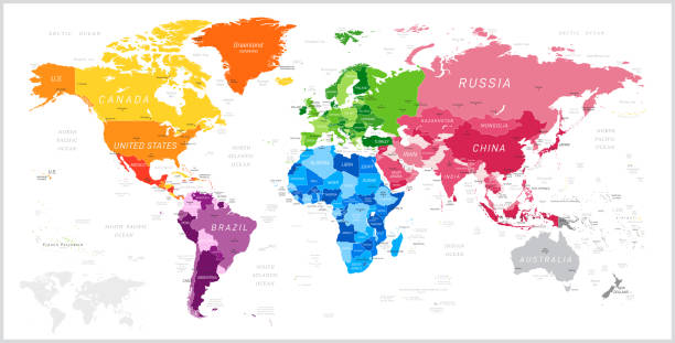
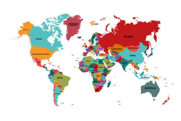
Colored world map. Political maps, colourful world countries and country names. Geography politics map, world land atlas or planet cartography vector illustration
Vector world map. Colorful world map with countries borders. Detailed map for business, travel, medicine and education
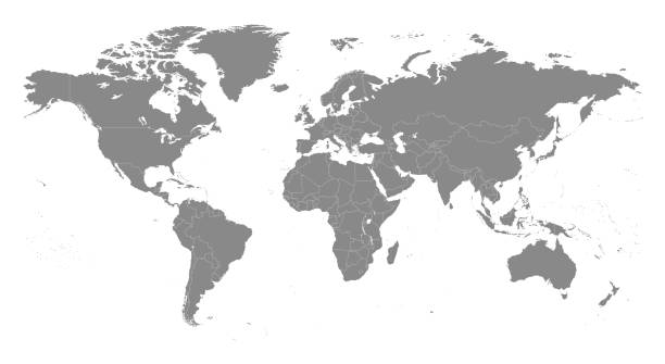
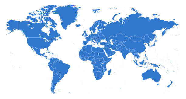
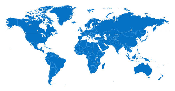
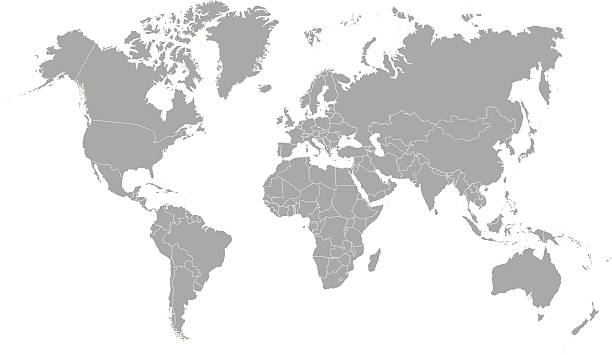
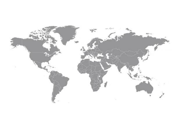
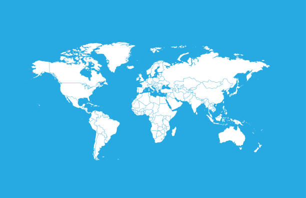
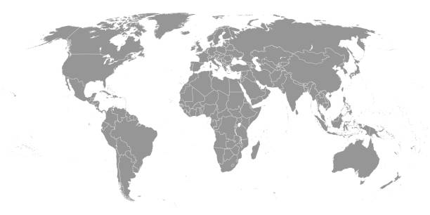
Highly detailed vector World map, with gray countries and white borders on a white background. High detail vector illustration
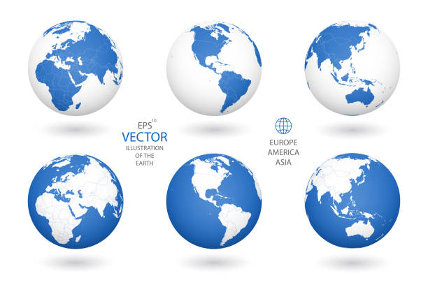
simple set of thin line globe related icons elements for travel and tourism concepts and apps
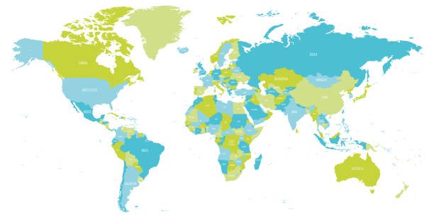
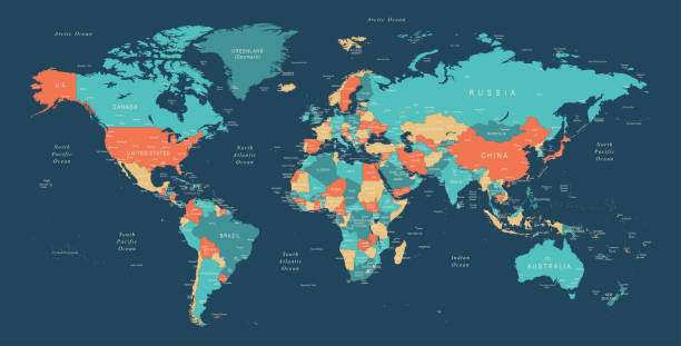
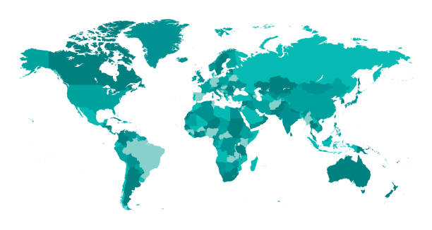
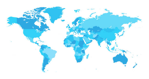
Map of World in shades of green and blue. High detail political map with country names. Vector illustration.
Source maps reference:
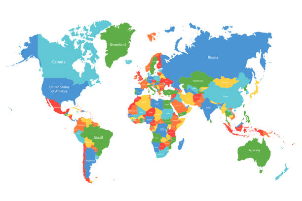
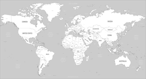
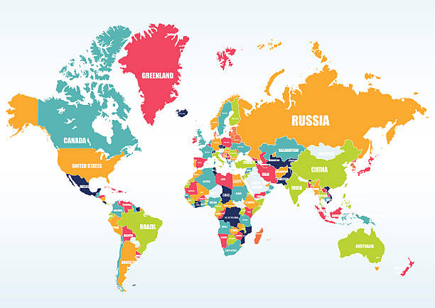
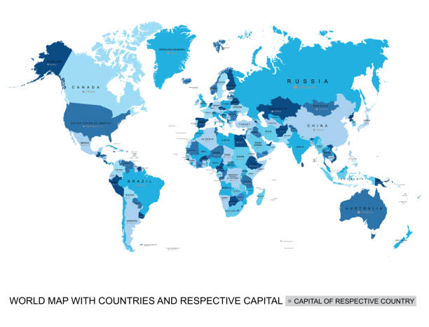
Political World Map with Names of Capitals, Main Cities, Rivers and Lakes

Vector Illustration World Map on White Background. Courtesy of the PCL Map Collection: http://www.lib.utexas.edu/maps/world.html (Public Domain PCL Map Collection).
The world map was traced and simplified in Adobe Illustrator on 2 APRIL 2014 from a copyright-free resource below:
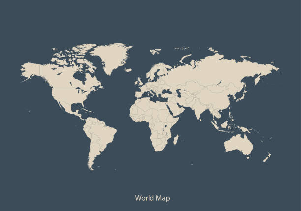
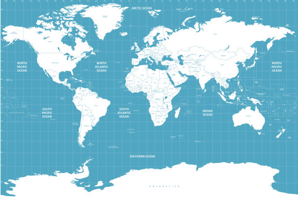
World map - white lands and grey water. High detailed political map of World with country, capital, ocean and sea names labeling.
abstract world map backdrop design element
World Map Political - Vector Detailed Illustration
World map with countries vector art
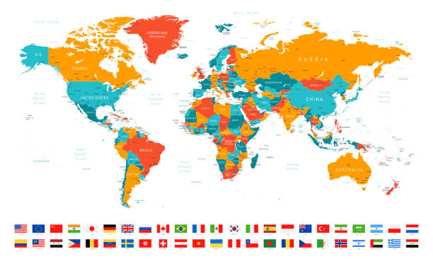
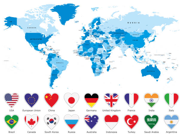
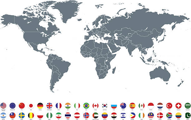
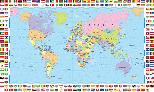
High Detailed World Map and Flags - borders, countries and cities - vector illustration
World - political map
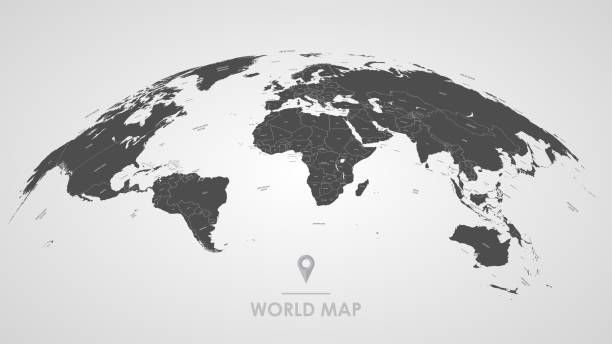
Earth illustration. Each country has its own autonomous border and background color fill, which gives the opportunity to select the desired part from the rest of the content. Objects are isolated.
vector of the world map map
Vector of highly detailed world map - each country outlined and has its own labeled layer
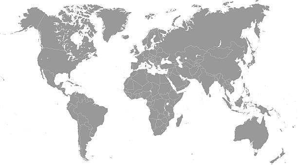
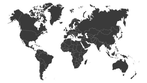
High Detail World map. All elements are separated in editable countries. Vector illustration EPS10.
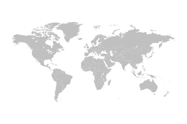
World Map - highly detailed vector illustration.
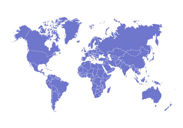
World map vector image isolated on white background. Individual country color editable.

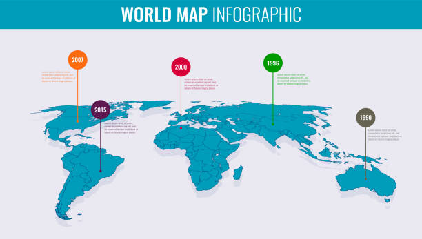
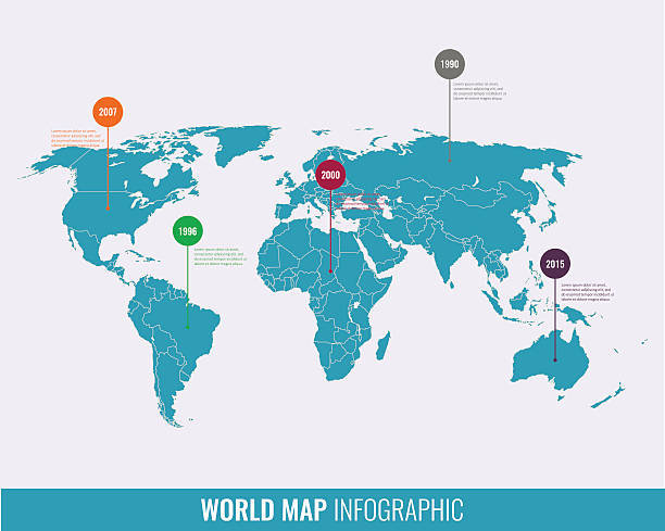
World map infographic template. Vector illustration
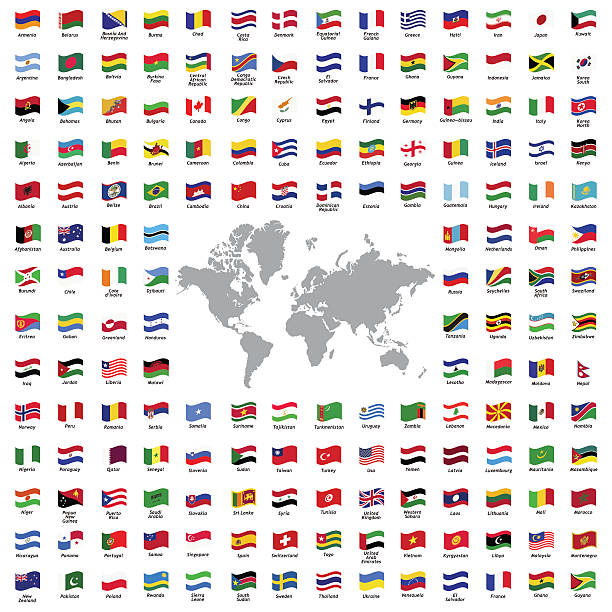
World flags all vector color official isolated
Vector of highly detailed world map - each country outlined and has its own labeled layer - The url of the reference file is : http://www.lib.utexas.edu/maps/world.html - 1 layer of data used for the detailed outline of the land
High detail world map with color. All elements are seperated in editable layers. Vector illustration
http://dikobraz.org/map_2.jpg
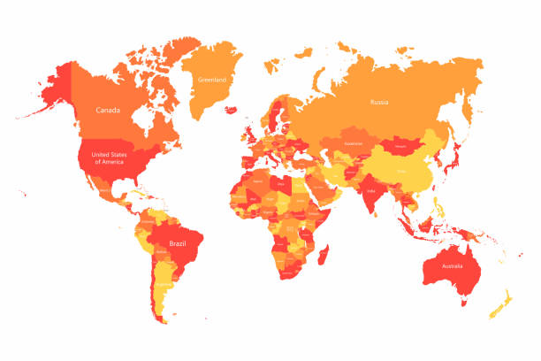
Print map of world for t-shirt, poster or geographic themes. Hand-drawn colorful map with states and capital names. Vector modern Illustration.Detailed illustration map shape can be use for presentation,chart,template and report.white background.

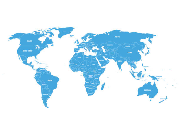
Political World Map vector illustration isolated on white background. Editable and clearly labeled layers.
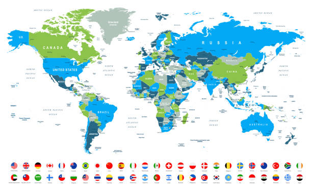
World Map and Most Popular Flags - borders, countries and cities -vector illustration
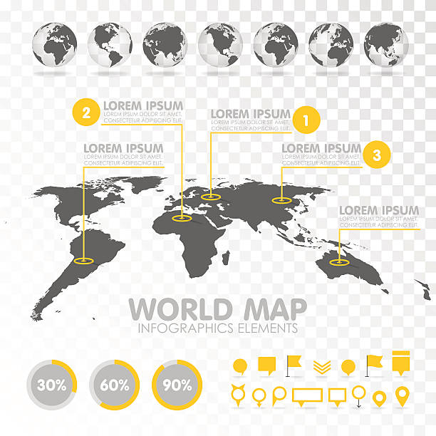
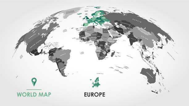
World map 3D with set of infographics elements. Design information, business graph and chart. Vector illustration
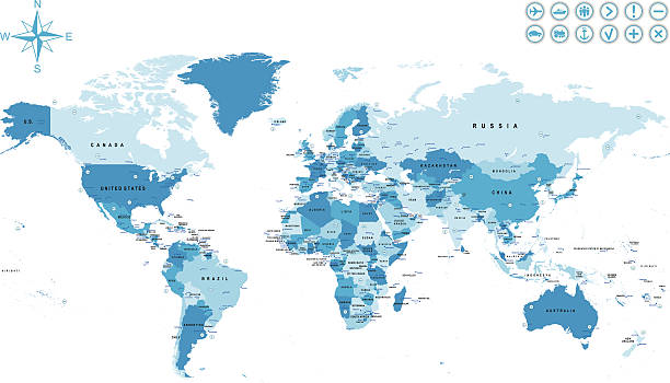
High detailed Illustration with World Map with Borders, Cities, Oceans and capitals
World Map North America, South America, Africa, Europe, Asia, Oceania Continents and Oceans on white background
Detailed Vector Illustration World Map. Reference: http://www.lib.utexas.edu/maps/world.html (Public Domain PCL Map Collection).

World map with country names.Vector illustration,
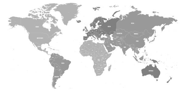
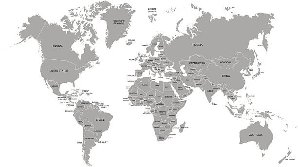
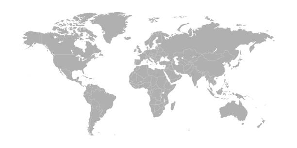
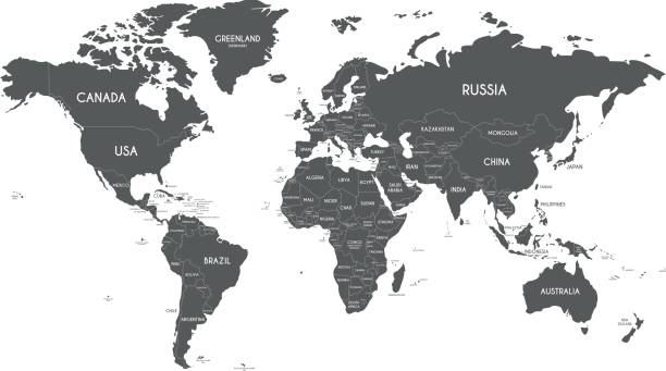
Map of World. Political map divided to six continents - North America, South America, Africa, Europe, Asia and Australia. Vector illustration in shades of grey with country name labels.
High Detail World map. All elements are separated in editable countries. Vector illustration EPS10.
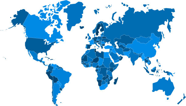
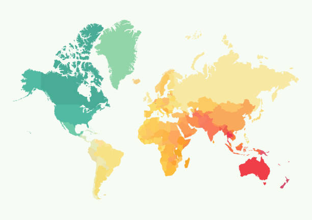
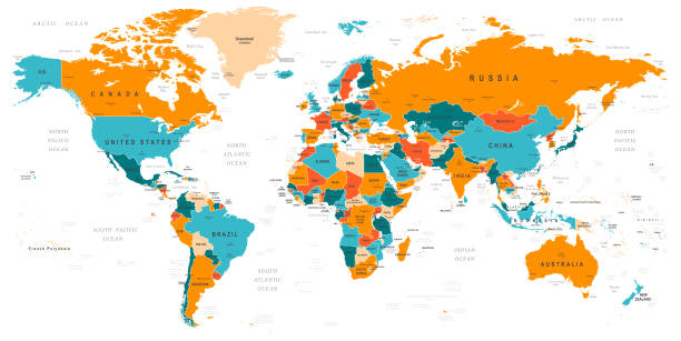
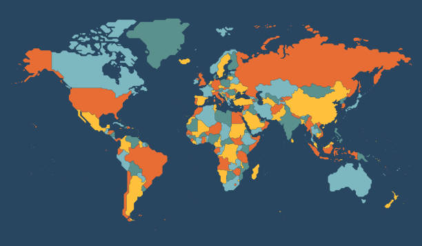
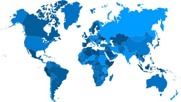
Vector World map with countries borders. Abstract red and yellow World countries on map. Planet Earth with borders
Highly detailed colored vector illustration of world map -
http://dikobraz.org/map_2.jpg